We aim to publish maps that cover the whole of the U.K specifically with the cyclist in mind.
The maps are all produced at a scale of 1:100 000 showing important features including the National cycle Network. Sections on road, off road and traffic free are all shown in differing colours along with their route number.
Other roads and their classification are shown enabling you to link rides or explore sections and discover new routes at home or further afield.
Facilities such as toilets, pubs, accommodation, bike shops, repair stations and railway stations are all shown. The mapping also has relief shading giving you a clear picture of the terrain you are likely to encounter.
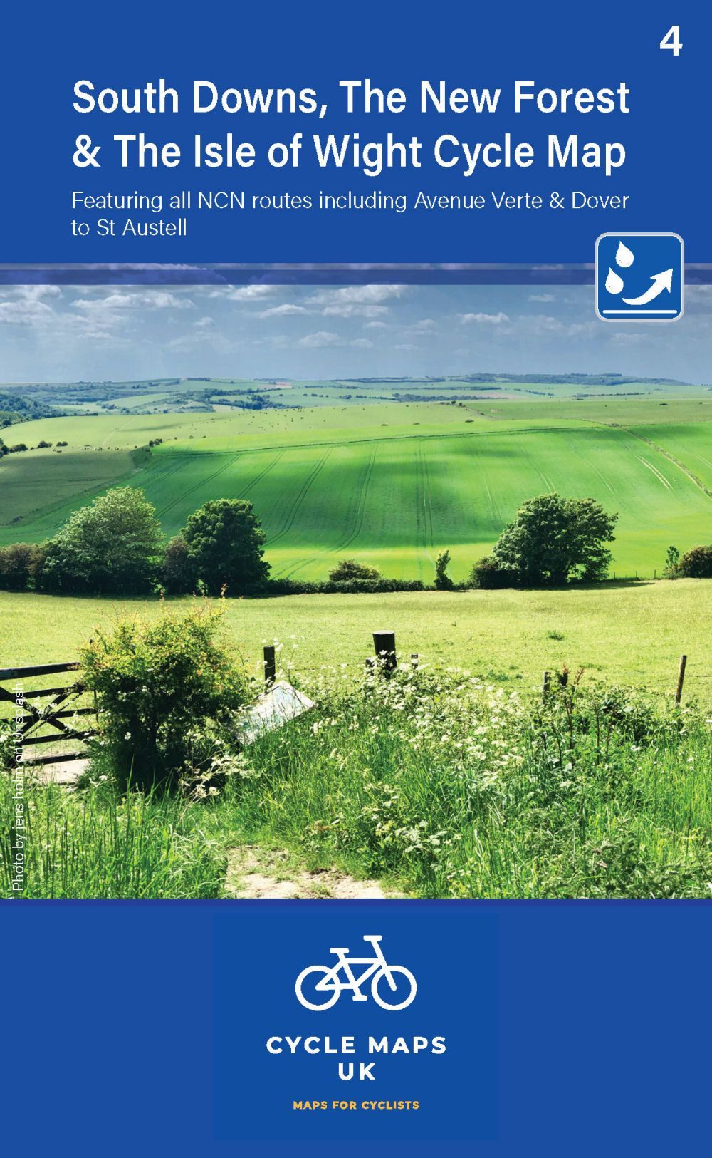
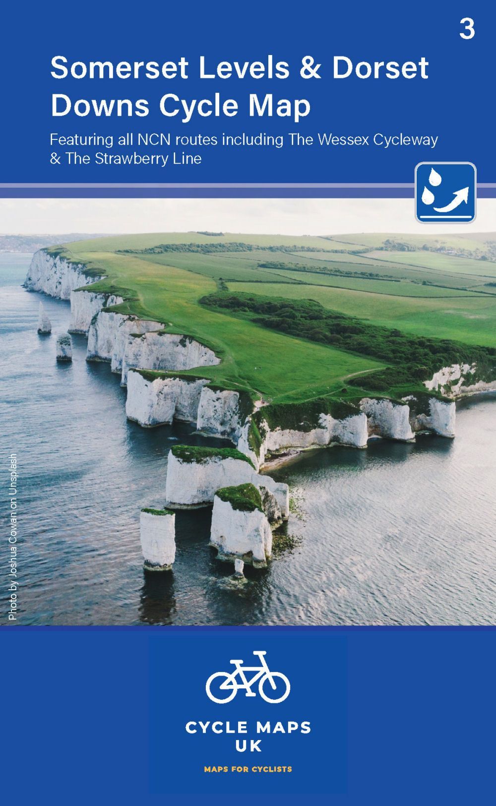
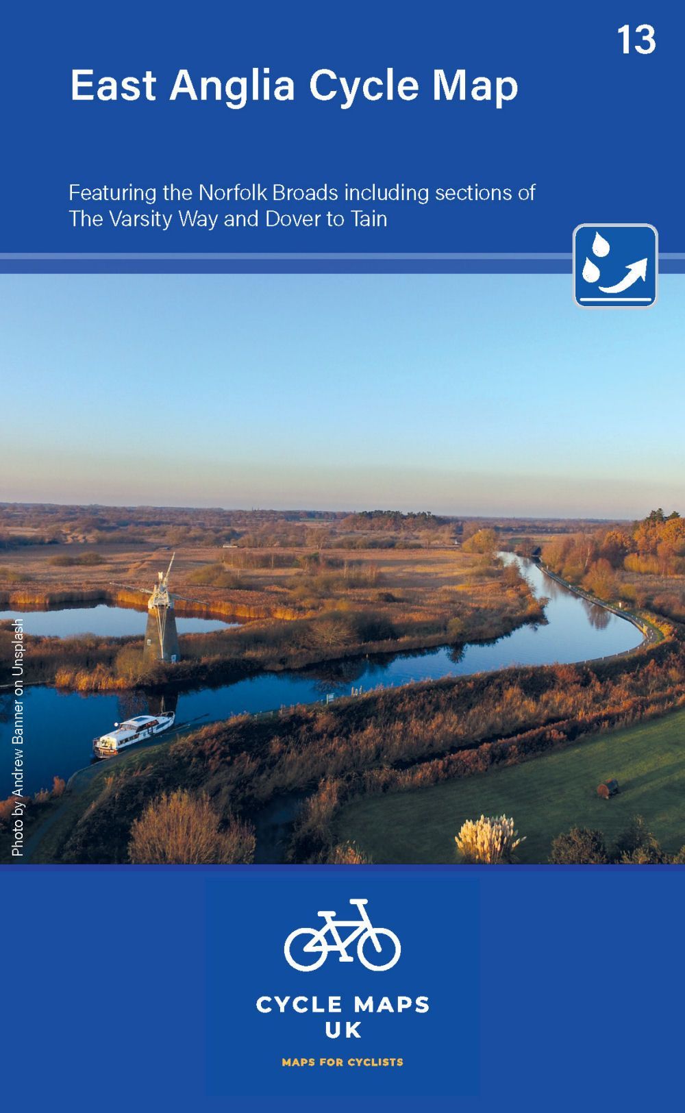
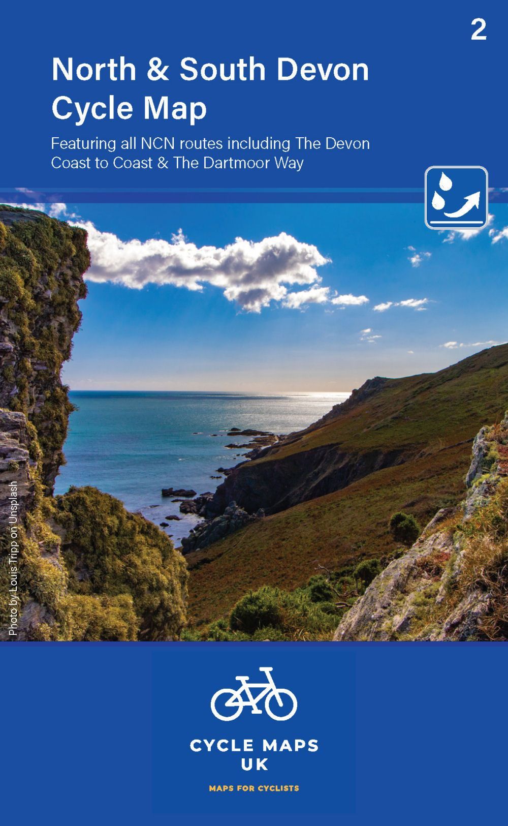
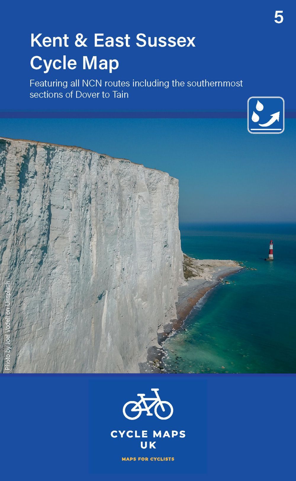
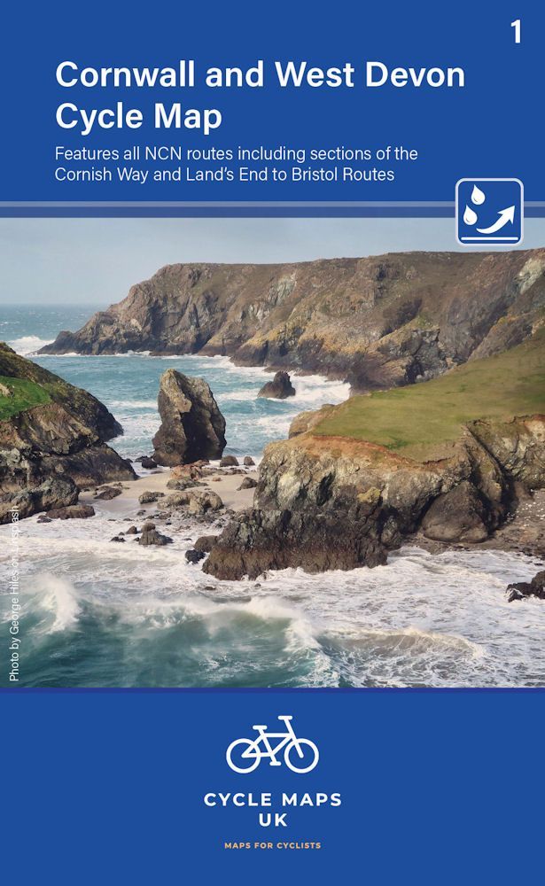
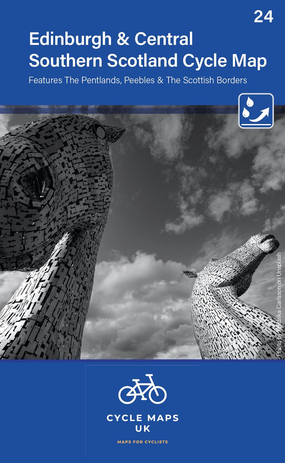
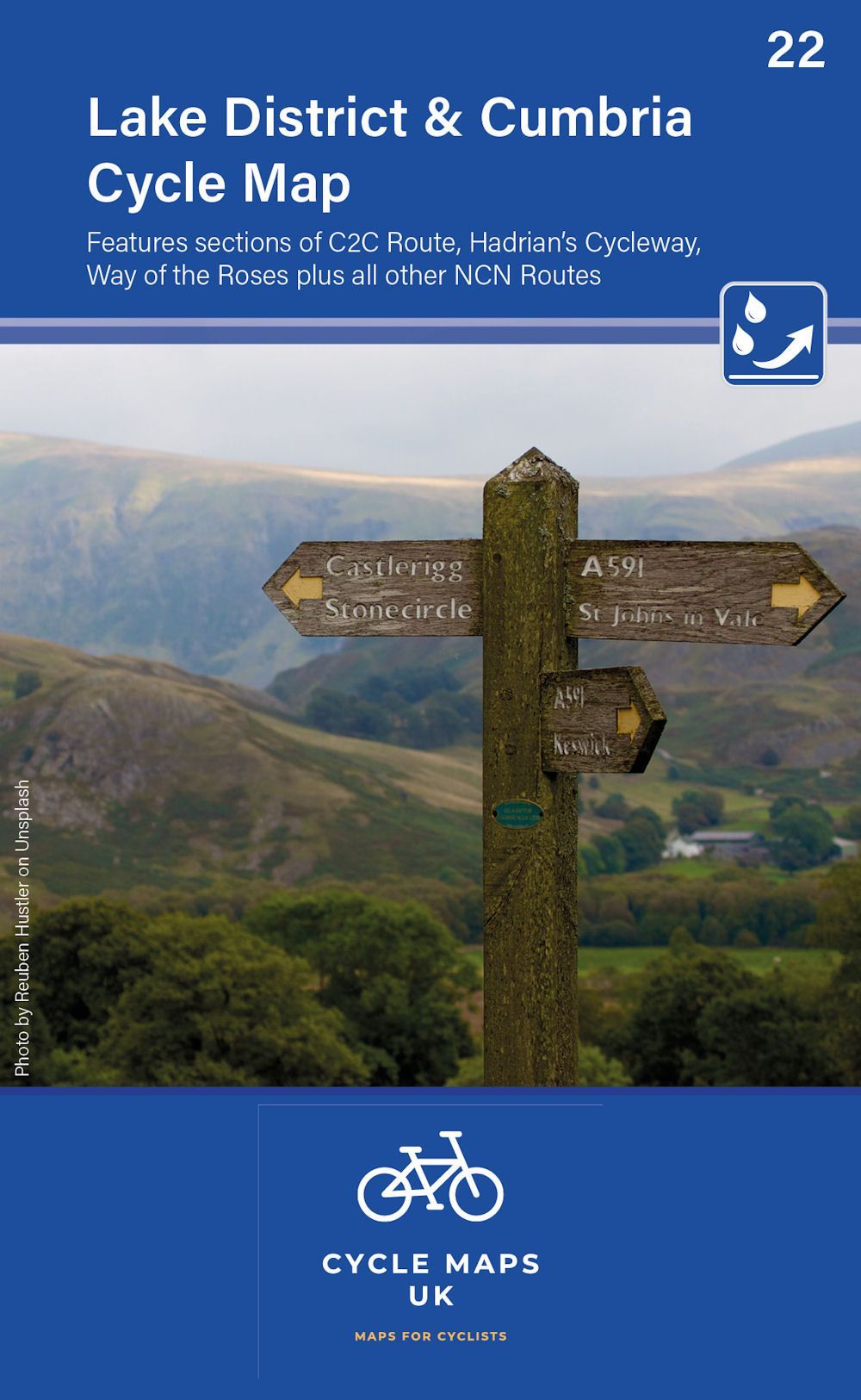
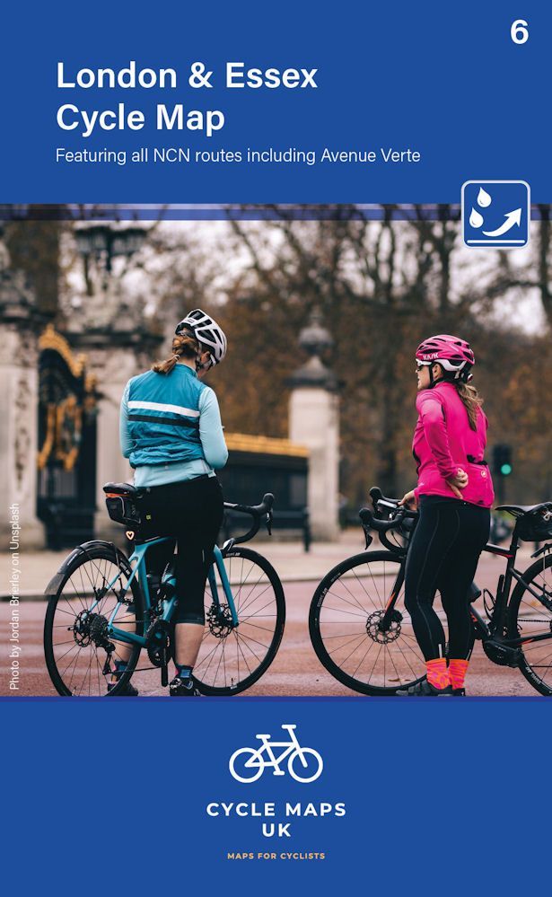
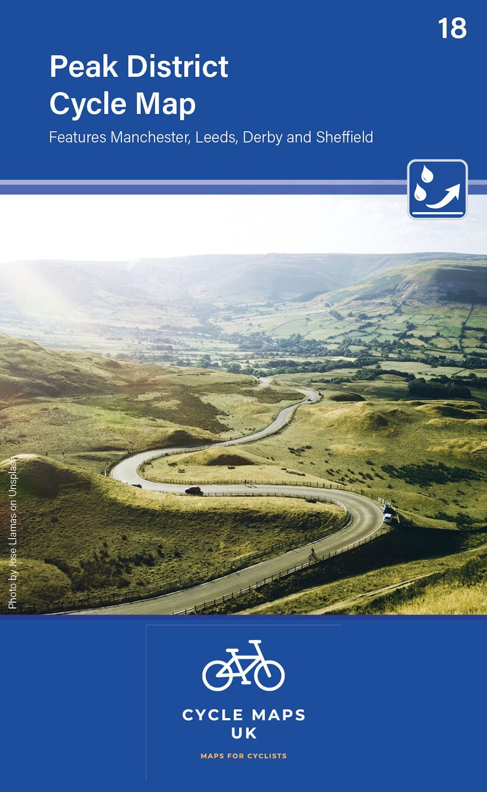
We currently have five new cycle maps covering various parts of the UK.
All Maps £8.99
Map 4 covers the South Downs, The New Forest and the Isle of Wight. The coverage stretches as far north as Reigate Aldershot and Andover.
Map 3 in the series covers the Somerset level and the Dorset Downs, from Minehead and Exeter in the West to Poole and Salisbury in the East.
Map 13 Covers East Anglia. Featuring all the NCN routes including the Norfolk Broads and sections of The Varsity Way and Dover to Tain.
Map 2 covers North and South Devon, including Dartmoor and the western part of Exmoor National Parks. The Devon coast to Coast route from Ilfracombe to Plymouth is fully covered.
Map 5 covers Kent and East Sussex. Featuring all NCN routes including the southernmost sections of Dover to Tain.
Map 1 covers Cornwall and West Devon. Featuring all NCN routes including sections of the Cornish Way and Land's End to Bristol Routes.
Map 24 covers the city of Edinburgh and the area to the south. Featuring the Pentlands, Peebles and the Scottish Borders
Map 22 covers The Lake District, Cumbria and all the way down to Lancaster. Features sections of the C2C Route, Hadrian's Cycleway, Way of the Roses plus all other NCN routes.
Map 6 covers from Uxbridge in the west to Harwich in the east. As far north as Luton and Halstead and as far south as Canterbury and Leatherhead.
Map 18 covers the Peak District and the surrounding cities of Manchester, Leeds, Derby and Sheffield.